Canada Newfoundland Water Quality Station Profiles
Water Quality Station Profile
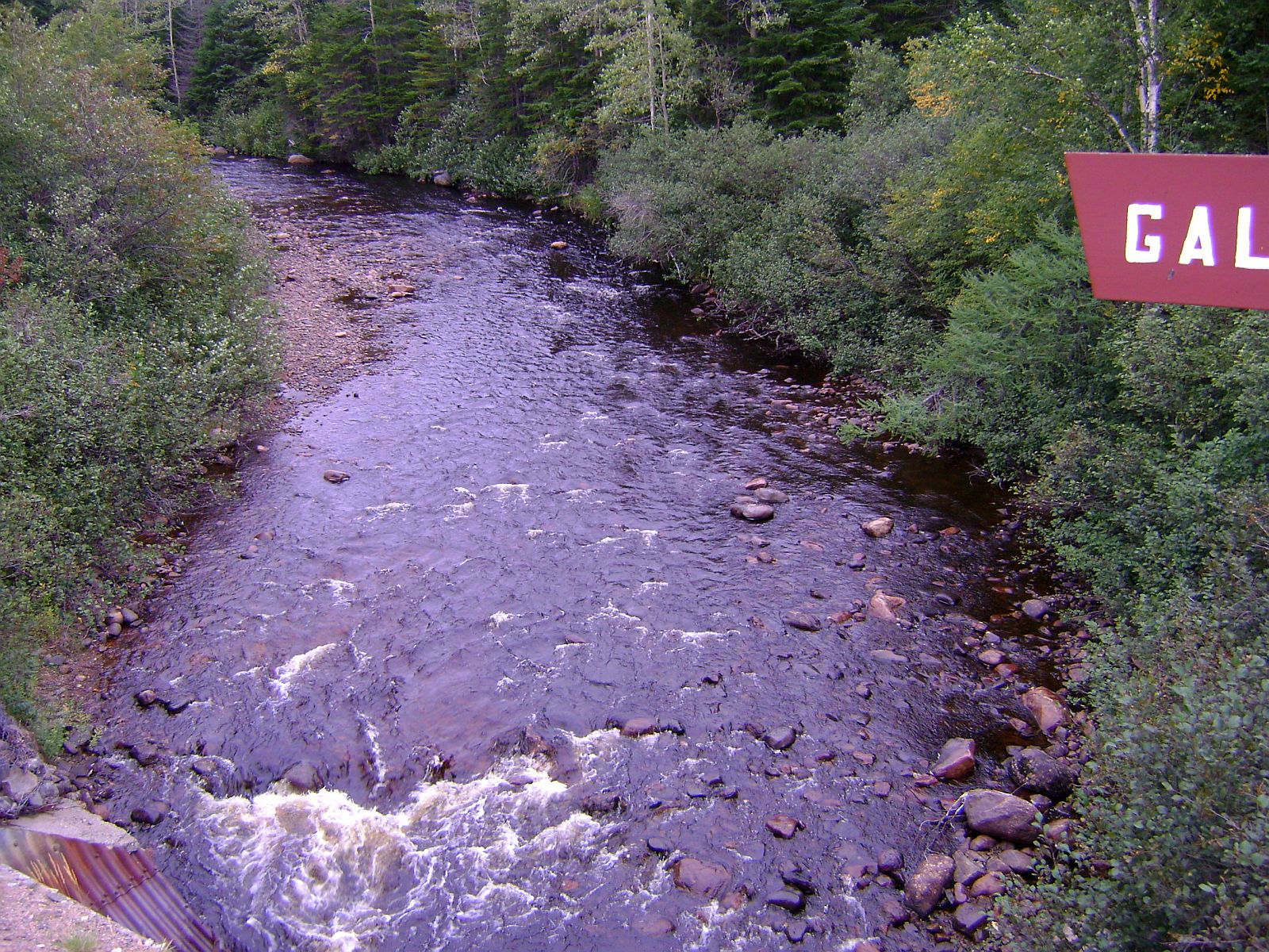
Station #: NF02YL0097, GALES BROOK AT ROUTE 420
Latitude:
49.5474 N, Longitude:
56.9983 W
Description
Elevation: 140
m
Basin:
02YL
Agency: Provincial
Start Date: 9/22/2010
Current Status: Ongoing
Sampling Frequency: 2010
Mean Spring Temp: 1.4
DegC
Mean Summer Temp: 15.3
DegC
Mean Fall Temp: 5.9
DegC
Mean Winter Temp:-7.9
DegC
Mean Annual Precip: 958.7
mm
Mean Annual Runoff: 1000-2000
mm
Mean Daily Discharge: m3/s
Mean Annual Days between First and Last Ice: days
Geology, Soils and
Cover
Development
Urban
Recreation
Landcover data was derived from the Canadian Forest Service Earth Observation for Sustainable Development of Forests (EOSD) Landcover dataset. The EOSD data is a land cover classification based on Landsat imagery circa 2000 and has a spatial resolution of approximately 30 metres. The landcover scheme shown is an aggregation of the 23 classes included in EOSD and breaks down as follows: Unclassified (No classified data available), Lakes, Barren or developed/urban lands, nonforested Vegetation (grasslands, shrubs etc), Wetlands and Forest.
All material copyright of the
Government of Newfoundland and Labrador. No unauthorized copying or redeployment
permitted. The Government assumes no responsibility for the accuracy of any
material deployed on an unauthorized server. Disclaimer/Copyright/Privacy Statement